
Aqueduct-A3 — Environmental Monitoring over Sea Surface

Aqueduct-A3 — Environmental Monitoring over Sea Surface
Complex composition
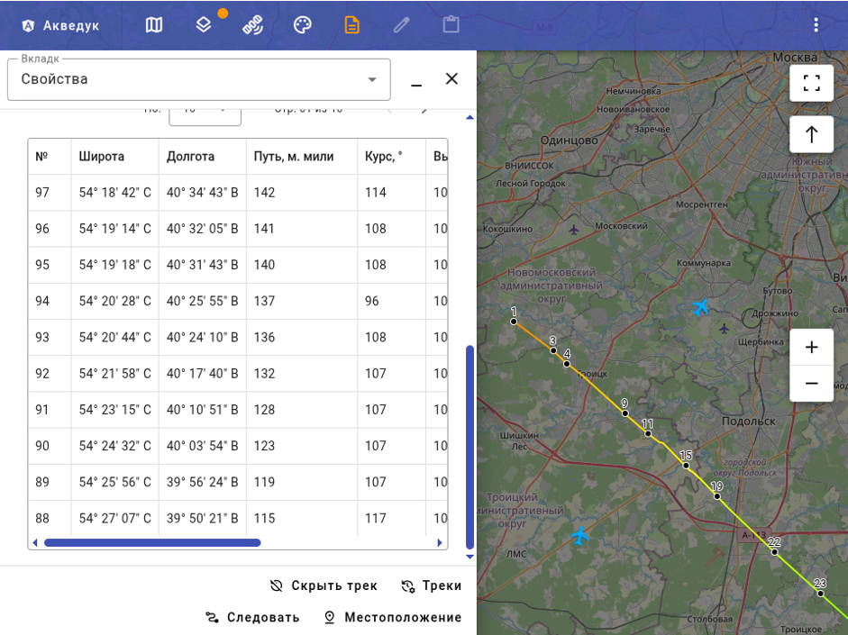
Atmospheric system software runs on upper-level Aqueduct-A1 and A2 platforms. For standalone deployment the base package includes adapted Linux, OpenOffice, GIS server, GIS interface, external communications (wired, cellular or satellite) and OpenStreetMap layer.
- Integration with upper-level Aqueduct systems
- GIS visualization of environmental data
- Wired, cellular and satellite communications
The environmental monitoring hardware includes:
- Workstation with operator console
- Documentation and storage systems
- External system connectivity
The primary data-source subsystem combines sensors and auxiliary equipment for environmental and meteorological monitoring over the sea surface:
- Gradient weather station for shipboard and shore deployment
- Standalone weather station in standard and special configurations (temperature, pressure, humidity, wind, cloud base, etc.)
- Electromagnetic field spectral power density measurement equipment
- Gamma radiation measurement equipment
- Cellular, wired, relay and satellite communications
Atmospheric system software runs on upper-level Aqueduct-A1 and A2 platforms. For standalone deployment the base package includes adapted Linux, OpenOffice, GIS server, GIS interface, external communications (wired, cellular or satellite) and OpenStreetMap layer.
- Integration with upper-level Aqueduct systems
- GIS visualization of environmental data
- Wired, cellular and satellite communications
The environmental monitoring hardware includes:
- Workstation with operator console
- Documentation and storage systems
- External system connectivity
The primary data-source subsystem combines sensors and auxiliary equipment for environmental and meteorological monitoring over the sea surface:
- Gradient weather station for shipboard and shore deployment
- Standalone weather station in standard and special configurations (temperature, pressure, humidity, wind, cloud base, etc.)
- Electromagnetic field spectral power density measurement equipment
- Gamma radiation measurement equipment
- Cellular, wired, relay and satellite communications